Archives

Introducing GeoAquaCrop: Regional Crop Modelling Made Accessible

We are glad to announce the release of GeoAquaCrop, an open-source Python package developed in collaboration with researchers from Aalto University and the University of Manchester. GeoAquaCrop runs FAO’s AquaCrop crop model across entire regions, river basins, or countries on a spatial grid, removing the data preparation and infrastructure burden that has traditionally made regional […]

Read More
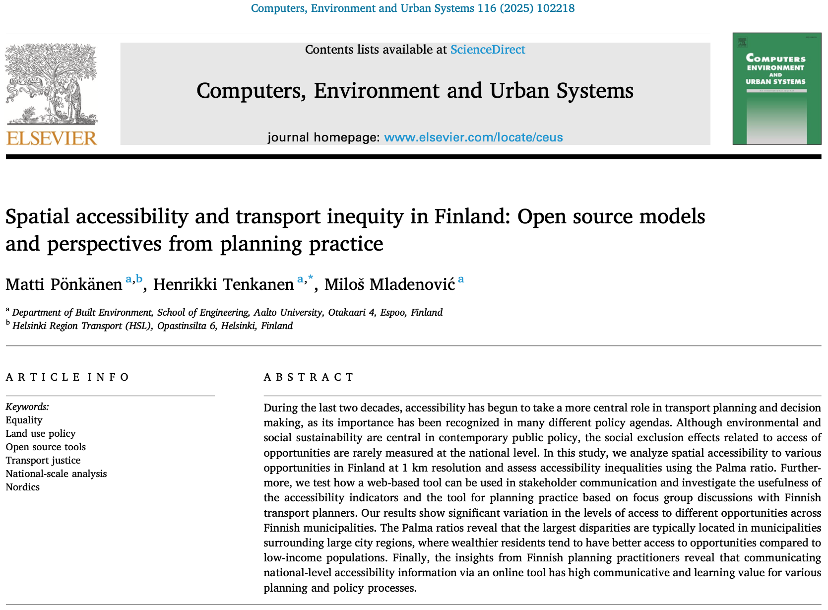
New publication out! Spatial accessibility and transport equity in Finland

We are happy to share that our paper was published in Computers, Environment and Urban Systems. In the paper, we investigate spatial accessibility and transport equity at national level in Finland with open source tools! The work was lead by the brilliant Matti Pönkänen and in great collaboration with Miloš N Mladenović and Henrikki! 👏 […]

Read More